Accessing image GPS metadata
已完成
Hi there,
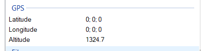
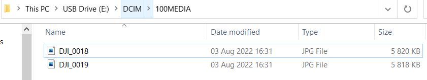
Is there a way to access GPS (latitude and longitude) metadata coupled to image files? Would like to know if this is possible within this application / tutorial (https://github.com/DJI-Mobile-SDK-Tutorials/Android-MediaManagerDemo).
I'm using the DJI Mini SE and DJI Air 2S, with DJI MSDK 4.16 (Android).
Please let me know asap.
Kind Regards,
Kyle
请先登录再写评论。
评论
6 条评论